概要
Mr. Usman Saleem has 7 years professional experience as Data Scientist & Data Analyst in National and International agencies. Over than 30 professional certificates in Data Science i,e., Python, R Studio, SQL, ArcGIS, Matlab, Bash cygwin, Osgeo etc. Professional in visualization, processing and manipulation of: AIRS, MODIS, Landsat, Sentinel, NOAH, TRIMM, SRTM DEM, Google Earth etc. Expert in writing technical reports and scientific manuscripts.You can write to me at: osman.geomatics@gmail.com
项目
工作经历
GIS Officer
RS-GIS based Girdwari
Land Revennue
GIS mapping of Urban planning
GIS based Land use Land cover
RS-GIS based projects PC-1 writing
GIS Surveyor
Research Associate
Below is the list of projects, I have completed in Pakistan Meteorological Department
(1) Development of model of daily temperature and inflow of Indus River
(2) Monsoon cyclonic depression in past 30 year’s data set.
(3) MODIS daily temperature validation in past 15 years.
(4) TRMM daily precipitation validation in past 15 years.
(5) Real time modeling of MODIS satellite snow cover area over Upper Indus River Catchment
(6)Algorithms developments for processing images of following satellites: AQUA, MODIS, NOAH, Landsat, NCEP/NCAR,DUNDEE, TRMM, GEOS, GSMap NRT
(7) Change detection of snow cover area in Upper Indus Basin using remote sensing techniques
(8) Snowmelt to Runoff using HBV and SRM model for Indus River
(9) Construction of 5.7feets in length Telescope with diameter of the objective lens is 5.5cm
(10) Model of liquid Propellant Rocket with length around 5 feet
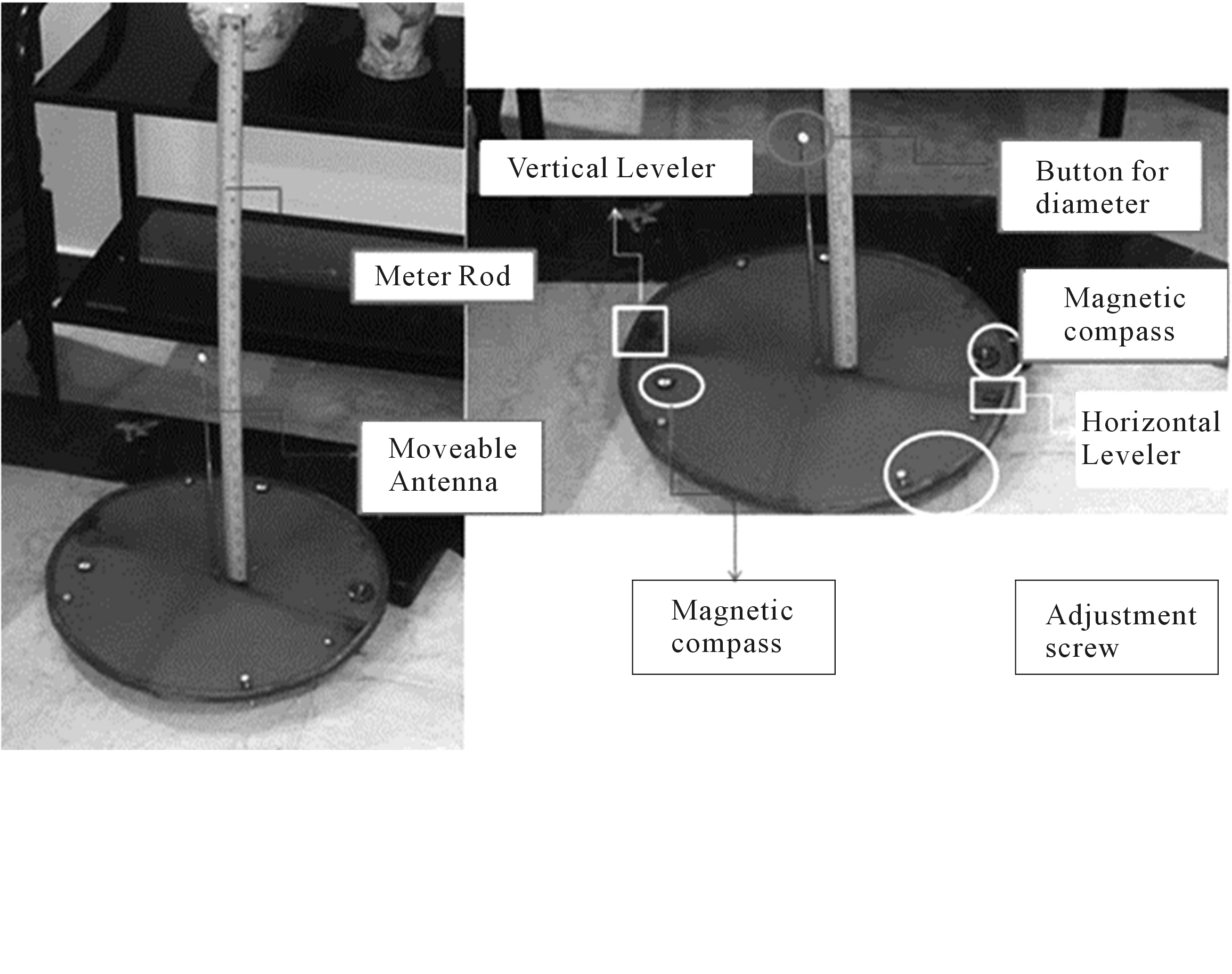
(11) Model of Solar Declination & Altitude Finder (Helix Finder)
(12) Flood inundation mapping of 2014 flood in River Jehlum
(13) Effect of Baglihar Dam over Chinab River peaks over Marala
(14) Fog and association with SOI index over Punjab
(15) Auto monsoon tracks ploter
GIS Officer
I was engaged on remote sensing and GIS based mapping and analysis for feasibility studies and detail design for hydro and urban planing projects.
RS and GIS Demostrator
Here is the outline of work I teaches in theory as well as in practical lab
(1) Introduction to GIS : Basic Concepts
(2) Fundamental of Remote Sensing
(3) Spectral Reflection of Vegetation, Soil and Water
(4) Spectral Signature of Soil
(5) Spectral Signature of Water, Snow and Ice, Variability and Color Composites
(6) Coordinate Systems: Datum, Projection Systems
(7) Datum
(8) GIS data types and Its Sources
(9) Photo/Image Interpretation and Its Elements
(10) Physical and Radiometric Terms and Units
(11) Physical and Radiometric Terms in view of Modern RS Satellites
(11) GIS Data Models
(12) Raster Data Model
Practical No Practical Description
(13) Point, Line, Polygon Shape files with how to add attributes with it
(14) Kml to shape files in Arc GIS 9.3
(15) Mapping and its Techniques in Arc GIS 9.3
(16) Absolute and Relative Geo-Referencing in Arc GIS 9.3
(17) Terrain Analysis( include Contour Maps, Aspect Maps, Hill shade Maps, View shed Maps using TIN and IDW interpolation methods) in Arc GIS 9.3
(18) Data Conversion Tools (like ASCCII to Raster, Raster to ASCCII, Raster to feature, feature to raster, Export to CAD, Layer to Kml) in Arc GIS 9.3
Teacher
O/A level Mathematics, Physics, Chemistry


